💼 We are an authorized reseller of CivilGeo Software, including GeoHECRAS, GeoHECHMS, and GeoSTORM. 💼

Innovative Civil Engineering
& Consultancy Services!

Riventra Tech Solutions delivers sustainable, high-quality civil engineering and consultancy services powered by innovation and technology.

Explore Our Services!

Core Business

We offer comprehensive civil engineering and consultancy solutions—designing and managing infrastructure projects while providing expert guidance through feasibility studies, cost estimations, and quality control for successful project execution.

Civil Engineering

Civil & Water Resources Engineering

We specialize in planning and executing diverse infrastructure projects:

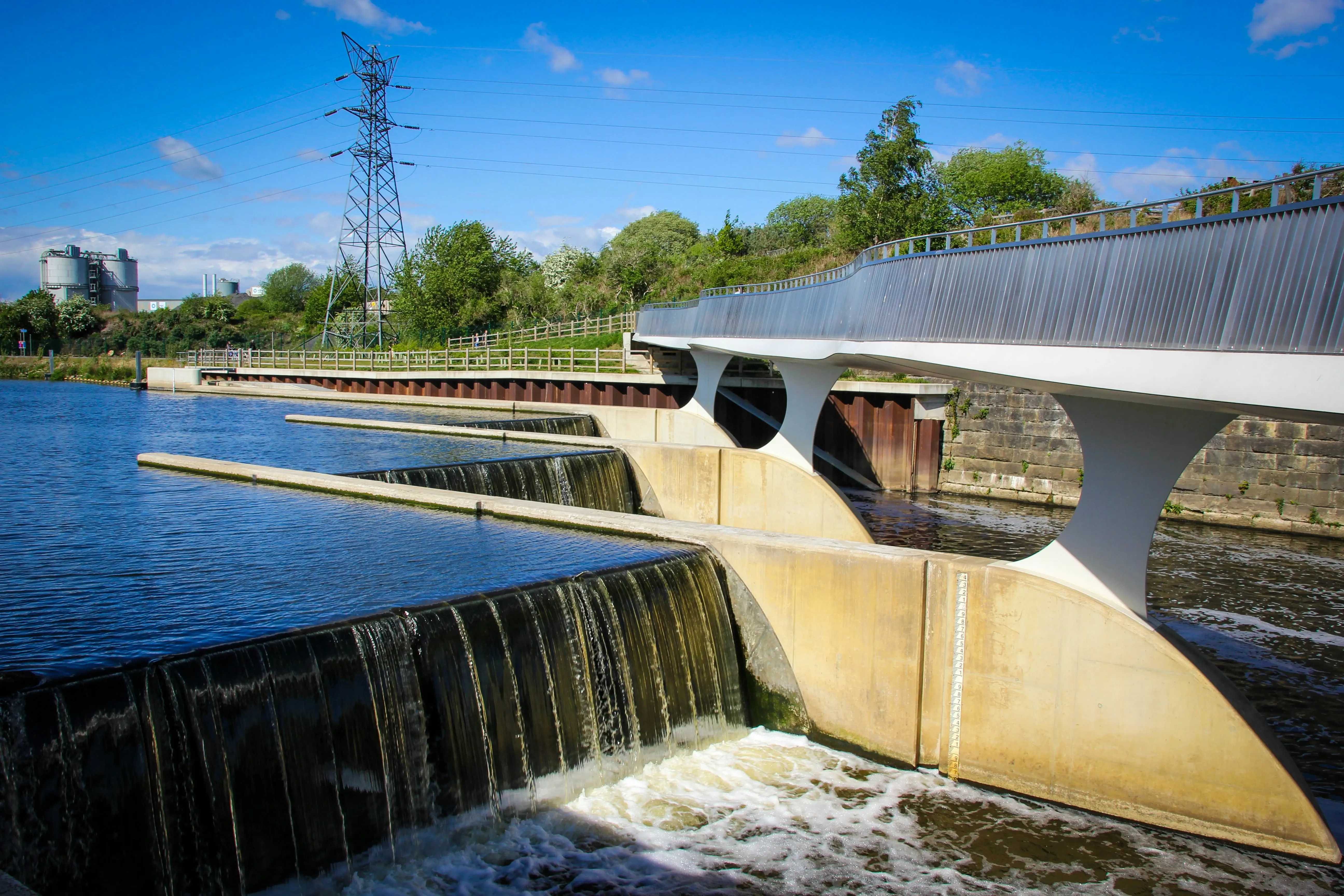
  • Dams & Water Systems: Smart water management and distribution.
  • Drainage & Sewerage: Modern sanitation and drainage networks.
  • Roads & Bridges: Safe and efficient transport solutions.
  • Buildings: Sustainable residential and commercial structures.

Our services also cover surveys, structural analysis, material testing, and full project management for precise execution.

Consultancy Services

Consultancy Services

We ensure project success through:

  • Feasibility Studies: Evaluating project viability and cost.
  • Environmental Assessments: Minimizing ecological impact.
  • Cost Estimations: Budget planning with accuracy.
  • Quality Control: Meeting top-tier industry standards.

With a focus on precision and sustainability, we turn every vision into a successful reality.

Our Core Services

Pipe Surge Analysis

We simulate and analyze transient pressure surges in pipelines to prevent damage and ensure system reliability. Our studies help mitigate risks associated with water hammer and flow variations.

Dam Break Analysis

We evaluate potential scenarios of dam failure to predict flood extents and risks. This analysis supports emergency response planning and infrastructure safety.

Flood Modelling

Our flood modelling services predict flood behavior using advanced hydrological tools. This aids in disaster preparedness, land use planning, and mitigation strategies.

Storm Water Modelling

We assess stormwater drainage systems to optimize runoff management during heavy rainfall events. Our models help design effective and sustainable urban drainage networks.

Watershed Management

We develop integrated plans for the conservation and sustainable use of watershed resources. Our approach enhances water availability, soil conservation, and ecosystem health.

Environmental Impact Assessment

We analyze the potential environmental impacts of proposed projects and recommend mitigation strategies. Our assessments support regulatory compliance and sustainable development.

Environmental Clearance

We assist in obtaining statutory environmental approvals from competent authorities. Our service ensures legal compliance while aligning with environmental sustainability goals.

Underwater Topography

We map and analyze underwater terrain to support hydro-engineering and environmental studies. High-resolution bathymetric data ensures accurate planning of water-based projects.

Reservoir Sedimentation Analysis

We examine sediment deposition patterns in reservoirs to assess storage loss and plan desiltation strategies. This helps extend reservoir life and maintain water supply efficiency.

UAV - Drone Surveys

We conduct aerial surveys using drones for high-resolution mapping and monitoring. UAVs provide fast, accurate data for infrastructure planning and environmental studies.

Pipe Distribution Network Design

We design efficient water distribution systems to ensure equitable and reliable supply. Our designs focus on hydraulic performance, cost-effectiveness, and future scalability.

Water Treatment Plant Design

Our designs incorporate modern technologies for treating surface and groundwater. We ensure safe, compliant, and sustainable water supply for various uses.

Sewage Treatment Plant Design

We provide tailored STP designs for urban and industrial applications. Our solutions promote water reuse and meet regulatory discharge standards.

Sewer Network Design

We design sewer networks that handle peak loads and minimize blockages. The layouts ensure effective wastewater collection and conveyance with minimal maintenance.

3D Scanning & 3D Printing

We utilize 3D scanning for accurate digital representations of infrastructure. Coupled with 3D printing, this technology aids in visualization, prototyping, and model testing.

Pipe Surge Analysis

We train professionals on simulating and interpreting surge events in pipelines. The program covers software tools and real-world case studies for practical understanding.

Pipe Distribution Network

This course teaches hydraulic design and modeling of pipe networks. It includes hands-on experience with leading simulation tools used in the industry.

Geospatial Training with Q-GIS & ArcGIS

Participants learn to manage and analyze spatial data using Q-GIS and ArcGIS. The training covers mapping, remote sensing, and GIS applications in water resources.

Flood Analysis in 1D & 2D

We offer practical training on flood modeling using one-dimensional and two-dimensional approaches. The course includes HEC-RAS and other simulation tools for real scenarios.

Applications of AI/ML/GEE in Water Resources

This course explores cutting-edge AI, ML, and Google Earth Engine applications. It helps professionals leverage data analytics for smart water resource management.

Technical Reports & Design

We prepare in-depth technical reports supported by scientific analysis and design. These documents aid in decision-making, policy formulation, and project execution.

Hydraulic & Hydrologic Modelling

Our research focuses on developing accurate hydraulic and hydrologic models. These models support planning and management of water flow, storage, and distribution systems.

Water Quality & Environmental Analysis

Water Quality & Environmental Analysis involves assessing physical, chemical, and biological parameters to support sustainable water resource management and environmental research.

Geospatial Technologies & Data Analytics

Our research integrates GIS, remote sensing, and data analytics for water and environmental projects. This empowers data-driven insights and smarter decision-making.

Get in Touch

Send Us a Message

Our Office


Team Riventra
Team Riventra
Online
Want real-time support?
Message us on WhatsApp.
We're ready to help you promptly.

Would you like to continue the conversation on WhatsApp?